National policies, plans and risk and governance profile(s)

Documents and publications
This briefing paper analyses to what extent countries have been affected by the impacts of weather-related loss events (storms, floods, heat waves etc.). The most recent available data from 2011 as well as for the period 1992-2011 were taken into account.
Documents and publications

This publication aims to pinpoint commonalities between disaster risk management and adaptation to climate change. It describes the experience gathered from German development cooperation’s work in seven countries, which we see as a stimulus to aim for

Documents and publications

This study predicts the potential impacts that climate change will have on the production of maize and beans, the two most important food crops in Central America. Using state-of-the-art climate models and GIS tools, agronomic research and socio-economic

Documents and publications

This publication captures key national experiences in the integration of disaster risk reduction (DRR) in the curriculum, identifying good practice, noting issues addressed or still lacking, and reviewing learning outcomes. The study researched DRR

Documents and publications

This publication captures key national experiences in the integration of disaster risk reduction (DRR) in the curriculum, identifying good practice, noting issues addressed or still lacking, and reviewing learning outcomes. The study researched DRR

Documents and publications

The intention of this map is to give a quick overview for decision makers on national or sub-national level about the risk exposure of the population in volcanic hazard (ash fall) zones. The classification used here runs from yellow (few people exposed)

Documents and publications

The intention of this map is to give a quick overview for decision makers on national or regional level about the risk exposure of the road network to ash fall hazard. The classification used here runs from yellow (few kilometers exposed) to red (many

Documents and publications

The intention of this map is to give a quick overview for decision makers on national or regional level about the risk exposure of the population in zones of very high seismic hazard. The classification used here runs from yellow (few people exposed) to

View more Knowledge Base entries

Further DRR country-level resources

IRP resources on Nicaragua
The International Recovery Platform strengthens knowledge and information on building back better in recovery, rehabilitation, and reconstruction.

Explore the Knowledge Base

PreventionWeb's knowledge base contains more than 75,000 entries and is updated daily.

Bookshelves in a library.
Type of content
Explore all updates by their type: news, publications, resource guides and more.
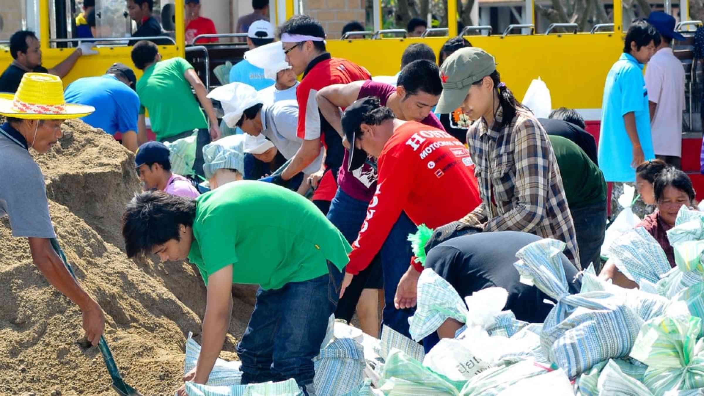
Thai people making sandbags to prevent flooding during the monsoon season in Bangkok, Thailand
Themes
Explore by the DRR theme: Human, economic, governance, science, environment and more.

Different symbols of hazards and disasters.
Hazards
Explore by the hazard type: floods, heat, landslides, drought and more.
Airplane from above
Resource guides
Keep up to date with various DRR topics and emerging trends.
Is this page useful?

Yes No
Report an issue on this page

Thank you. If you have 2 minutes, we would benefit from additional feedback (link opens in a new window).