Wildfire
Wildfires are any unplanned or uncontrolled fire affecting natural, cultural, industrial and residential landscapes (adapted from FAO, 2010).
Wildfires are not a major cause of death, but they can be very destructive. Many wildfires are caused by human activities, either accidentally or as a consequence of carelessness, or arson. These fires often get out of control and spread over vast areas extending to tens or hundreds of thousands of hectares.
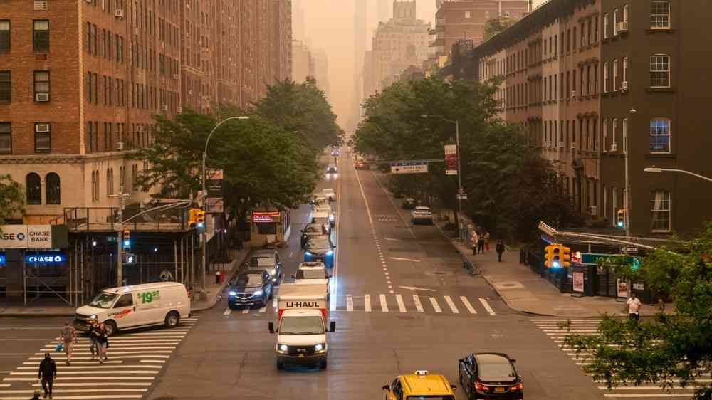
Research shows that wildfires can cause a large increase in gaseous air pollutants such as carbon monoxide, nitrogen dioxide, acetaldehyde and formaldehyde (Finlay et al., 2012). Wood smoke has high levels of particulate matter and toxins, Adverse health consequences can occur as a result of short- or long-term exposure. Respiratory morbidity predominates, but cardiovascular, opthalmic and psychiatric problems can also result (HPI).
Wildfires represent a hazard that is primarily influenced by humans and thus to a degree can be predicted, controlled and, in many cases, prevented. Wildfire occurence, characteristics and impacts are closely linked to other hazards: droughts, heat waves and extreme weather events can influence fire intensity and severity and thus the duration, size and controllability of wildfires. The effects of wildfires on vegetation cover and soil stability may create secondary hazards/subsidiary perils, such as post-fire landslides, mudslides, flash floods, erosion and siltation.
Risk factors
- Increasing demand for agricultural lands for food and the necessity to use fire for land-use change.
- The expansion of residential areas/infrastructures built near fire-prone vegetation - the Wildland Urban Interface (WUI).
- Extended periods of drought and extreme heat.
- Wildfires cause more land degradation (soil erosion, loss of land productivity) and as a consequence create more flooding and landslides.
Vulnerable areas
- Agricultural and pasture lands in which fire is used for controlling weeds, bush encroachments, and for land clearing.
- Fire-prone natural forest, bush land and grassland ecosystems with high occurrence of natural fires in the subtropics or northern latitudes.
- Agricultural and forest plantations.
- Residential areas or scattered houses/infrastructures nearest to fire-prone vegetation.
- Residential areas or individual structures made of easily flammable materials.
- Abandoned rural villages and human settlements with no one to manage, prevent or respond to wildfires.
Risk reduction measures
- Limit development in high bushfire risk areas.
- Clear the vegetation surrounding homes and other structures.
- Build fire lanes or breaks between homes and any forested or bush land areas, if a natural firebreak does not exist.
- Plant vegetation of low flammability.
- Use fire-resistant building materials.
- Use traditional and advanced methods of prescribed burning for sustainable agriculture and flora and fauna management.
- Enact legislation and regulation at the appropriate jurisdictional levels.
- Conduct community-based fire risk minimization activities during all stages of fire management.
- Provide community alerts through fire danger rating systems.
- Educate the community and raise public awareness about the risks of wildfires.
- Develop firefighting capacities and public safety.