Knowledge Base Highlights and editors' picks

Top stories and editors' picks from the most recent additions. Explore the whole Knowledge Base.

Every week the PreventionWeb team of editors selects the latest news and research, reports and publications on disaster risk reduction – here is their selection of the latest must-read content.

Beach area
Update
Accurate sea-level data, combined with an understanding of the depth and shape of coastal terrain, enables more precise modelling of marine hazards.
United Nations Development Programme (UNDP)
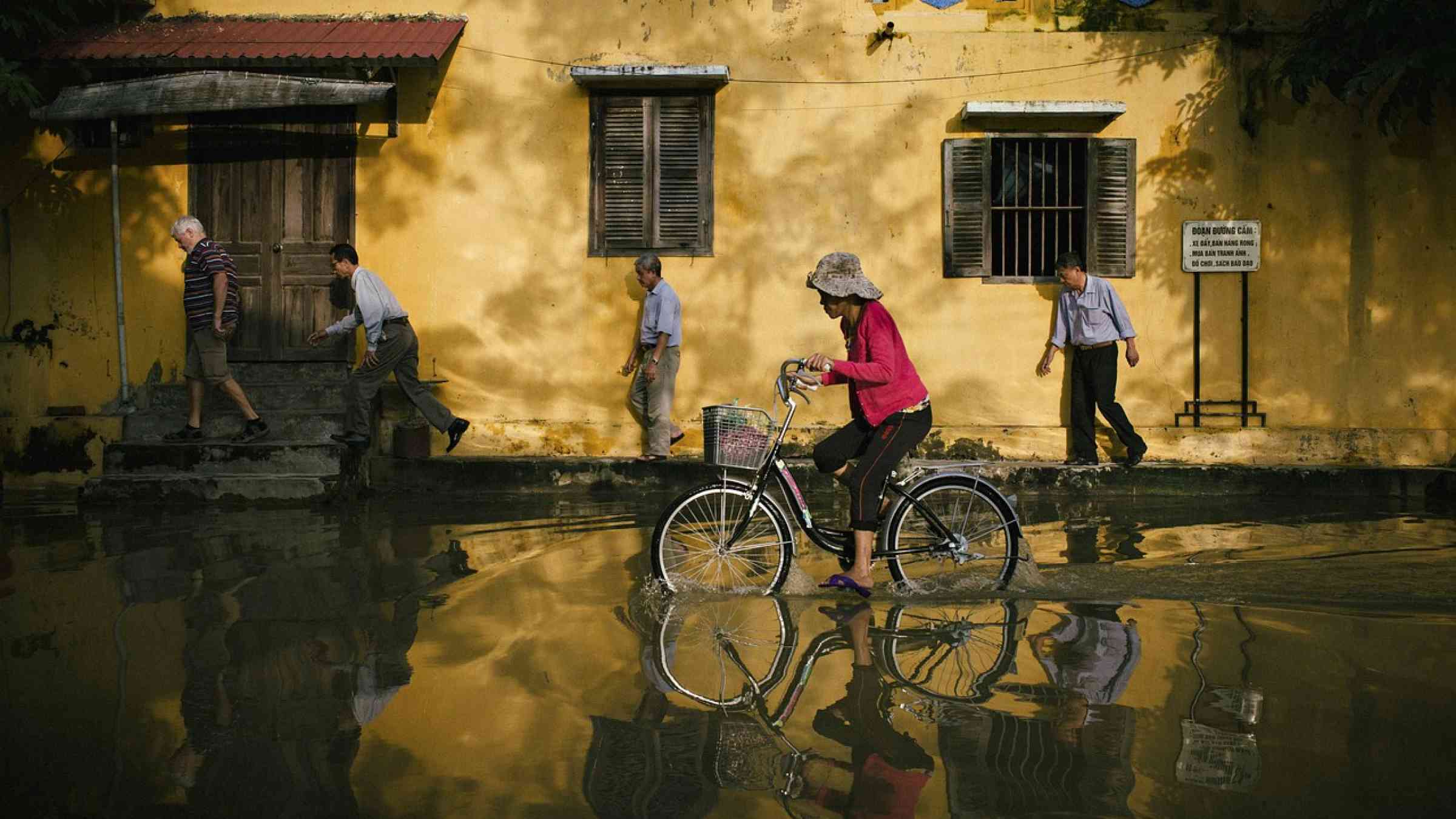
Biking in flood
Research briefs
Scientists have developed new guidance and tools that could significantly improve the prediction of life-threatening flash flooding.
Newcastle University
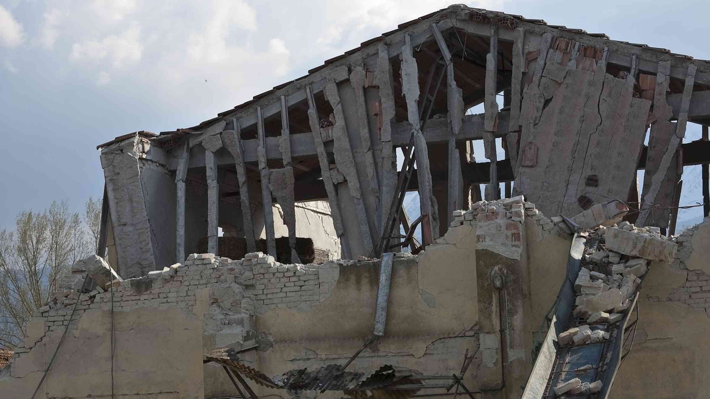
earthquake
Research briefs
While earthquakes cannot be deterministically predicted, operational earthquake forecasting systems can provide valuable insights into the likelihood of future quakes.
Eos - AGU
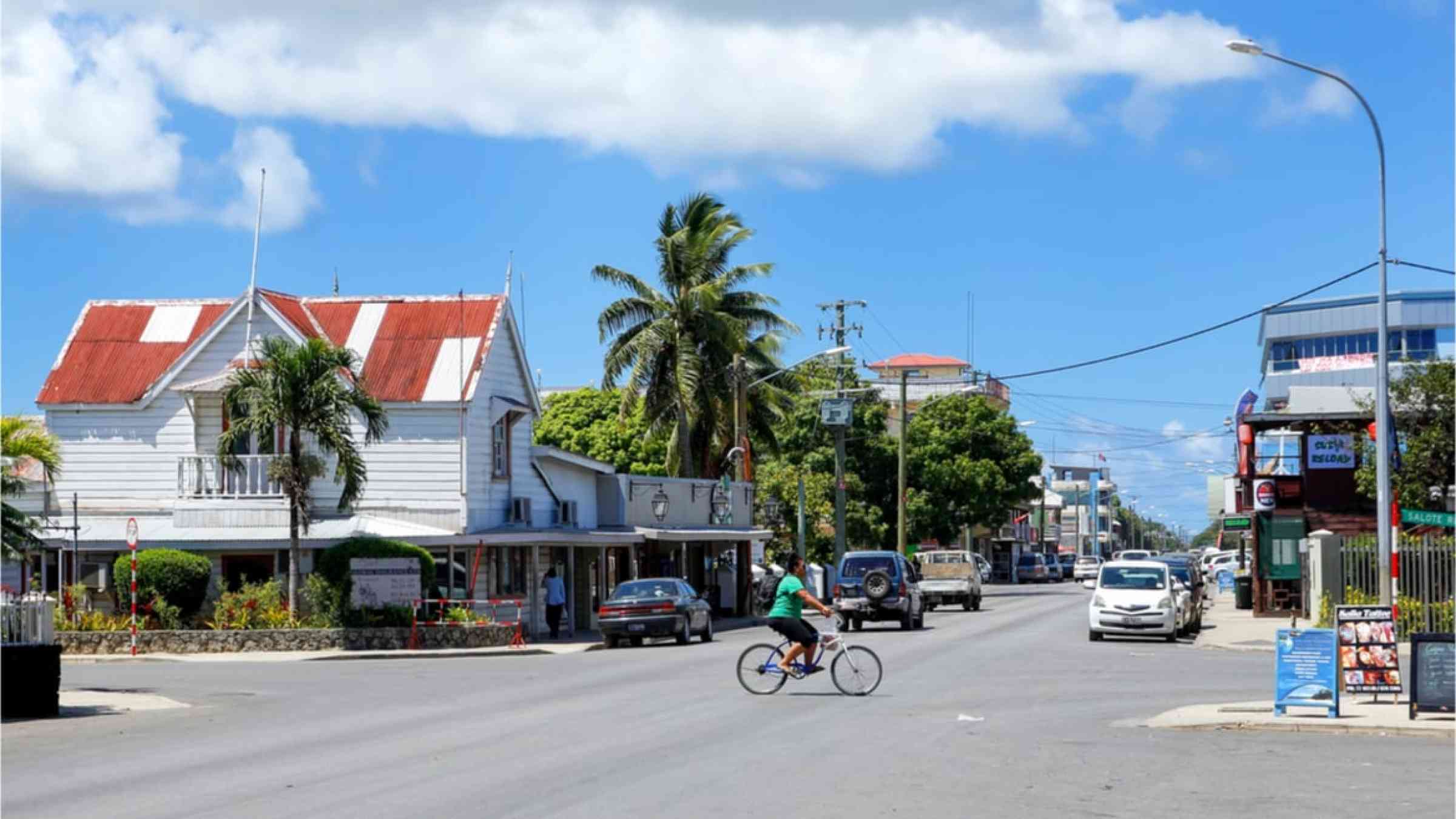
Street in Nuku'alofa on Tongatapu island, Tonga.
Update
Tonga launched a Weather Radar during the Fifty-Third Pacific Islands Forum Leaders Meeting now underway. The Radar is the first deliverable of the Weather Ready Pacific in the Pacific region.
Secretariat of the Pacific Regional Environment Programme
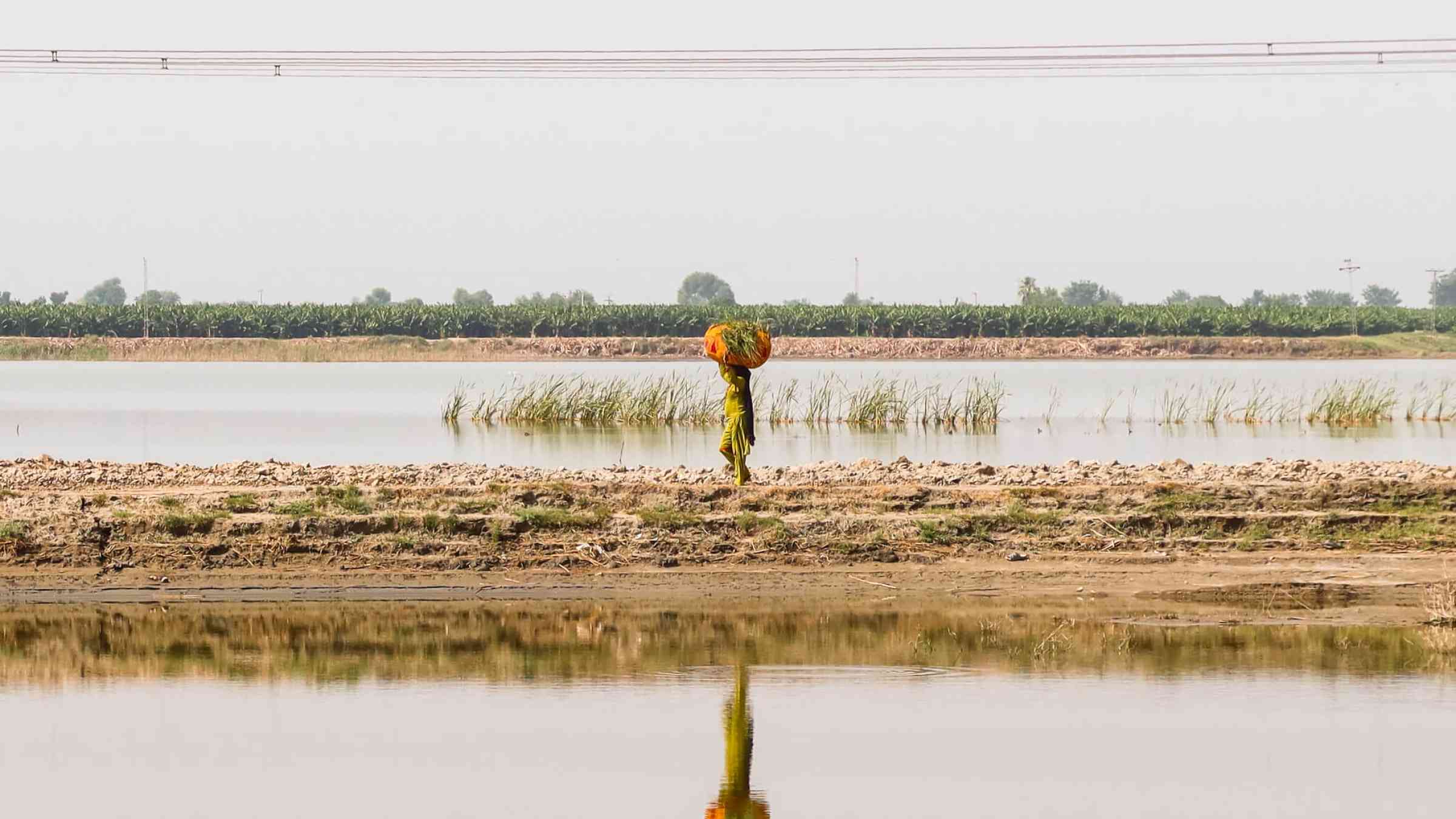
The Burden of Floods
Update
In just three years, Pakistan has faced the COVID-19 pandemic, the most severe locust outbreak in 30 years, a drought emergency, and unprecedented flooding that submerged a third of the country.
World Bank, the
Woman in Congo
Update
Nature-based solutions like urban farming, terraces, and green corridors can help cities with climate challenges including urban heat, flooding, and air pollution. But how can governments and communities determine which nature-based solutions?
World Bank, the
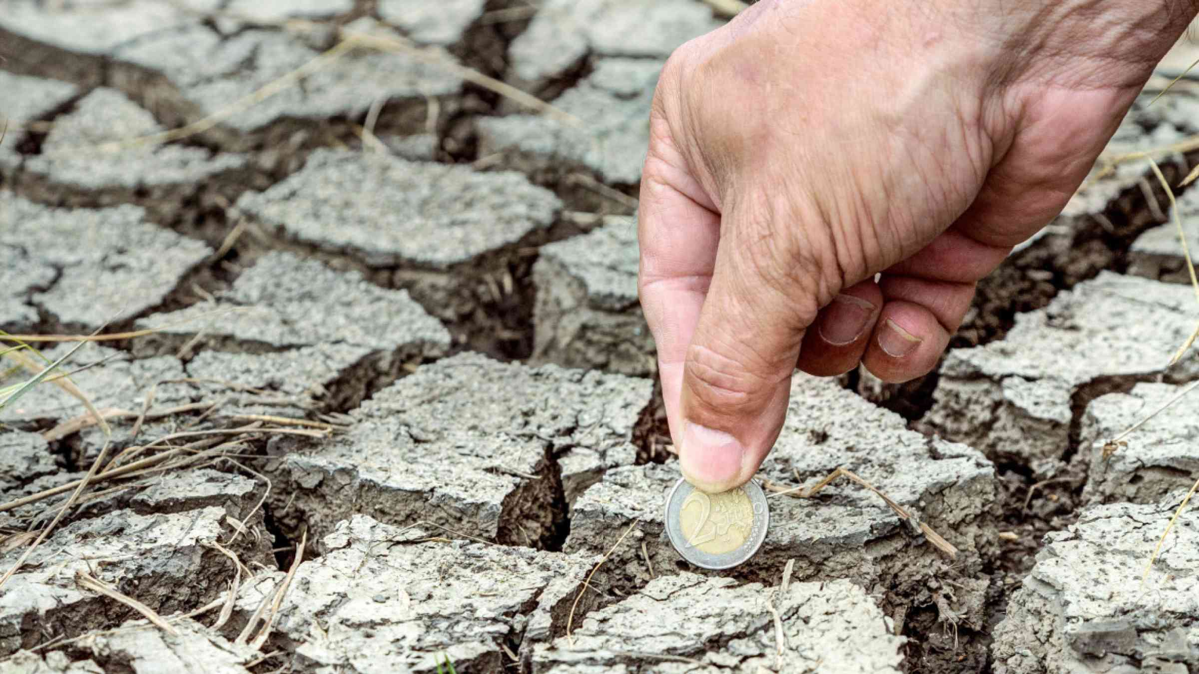
A hand puts a two-euro coin in the dried up ground
Research briefs
New study of economic toll yields projections ‘six times larger than previous estimates’.
Harvard Gazette
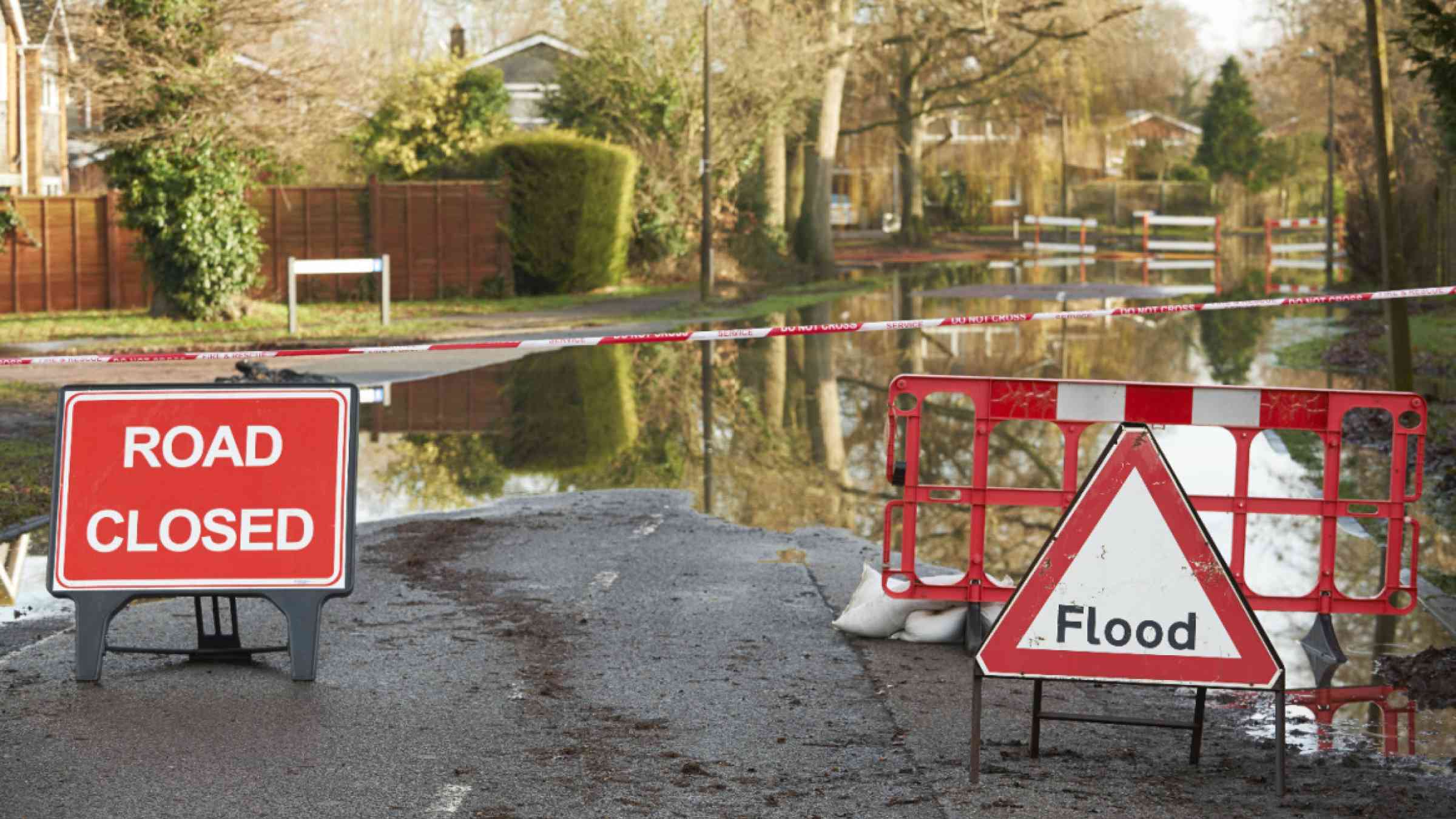
Closed road signs on an empty flooded road
Research briefs
A global flood hazard map at 30-meter resolution is constructed using latest hydrology, topography, and climate data, and its accuracy is approaching that of local to regional scale flood inundation maps.
Eos - AGU
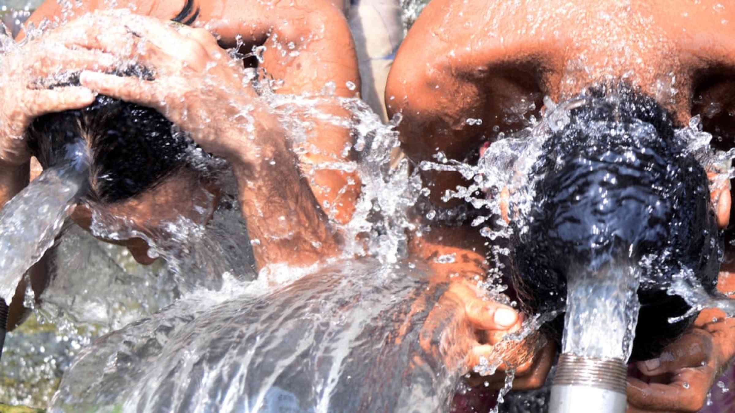
People taking a bath at a municipal water source to cope with the heatwave in India, 2015
Update
In this era of rapid human-caused climate change, the setting of new regional and national temperature records during heatwaves happens so frequently that it can sometimes feel commonplace.
Carbon Brief
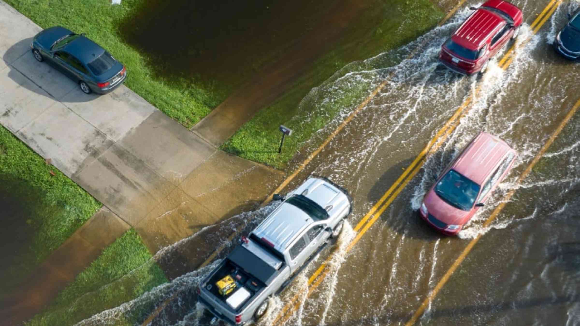
Flooded road in Florida after heavy hurricane rainfall
Update
It’s rare to see both Niñas at the same time, yet in August 2024, both appeared to be developing. Let’s take a closer look at what that means.
Conversation Media Group, the
illustration
The DRR Knowledge Base
Explore the latest on disaster risk and resilience from around the world: news, research, policies and publications.

Subscribe to alerts

Contribute your content

The Knowledge Base is a collaborative effort of the DRR community, updated and reviewed daily by PreventionWeb editors.

Is this page useful?

Yes No
Report an issue on this page

Thank you. If you have 2 minutes, we would benefit from additional feedback (link opens in a new window).