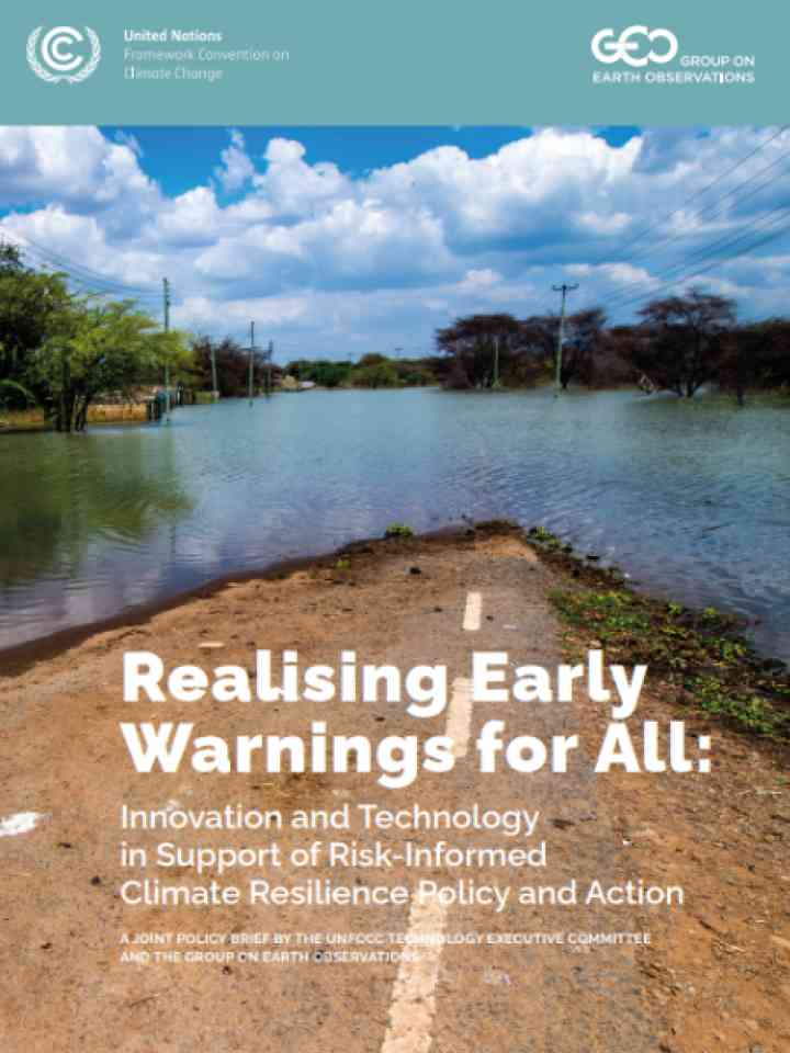
Early warning

An integrated system of hazard monitoring, forecasting and prediction, disaster risk assessment, communication and preparedness activities systems and processes that enables individuals, communities, governments, businesses and others to take timely action to reduce disaster risks in advance of hazardous events.

Latest Early warning additions in the Knowledge Base

Weather monitoring station in tree-covered hilly surroundings
Update
Climate scientists at Oxford University Physics have developed a ground-breaking AI-based approach to weather forecasting, building more local and accurate models offering high-resolution predictions of extreme weather such as floods.
Oxford University
Update
U.S. Geological Survey scientists will deploy to the active South Fork and Salt fires today to increase water data transmission from streamgages within the burn area.
United States Geological Survey
Surface fault which appeared following the 2022 Turkiye earthquake
Research briefs
A team at Los Alamos National Laboratory used machine learning — an application of artificial intelligence — to detect the hidden signals that precede an earthquake. This method could be used to assess earthquake hazards across the globe.
Los Alamos National Laboratory
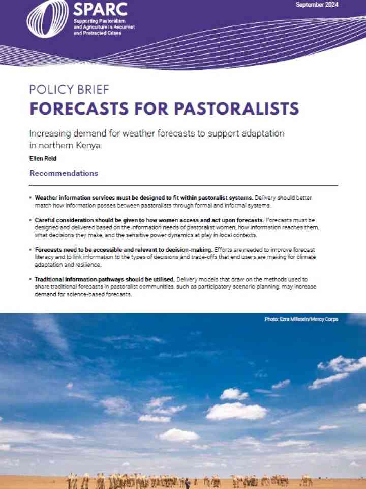
Cover
Documents and publications
This desk study aims to bridge pastoralist knowledge, local practices, and external interventions by synthesizing literature on pastoral knowledge and practices from the Greater Horn of Africa, Sudano-Sahel regions, and beyond.
sunset at a drought stricken and arid landscape with shrubs
Update
The Climate Risk and Early Warning Systems initiative (CREWS) supported new or improved forecasting and warning services for 125 million people in 19 countries in 2023, according to its new annual report.
World Meteorological Organization (WMO)
Cover
Documents and publications
In 2022, the pilot of an anticipatory action framework in Niger, demonstrated that acting early – before people experienced a drought’s full impact – enabled them to preserve land, save livestock and avoid negative coping strategies.
Drone image of a river flowing through a dense forest in Vanuatu.
Feature
When will the cyclone season start? How active will it be? When should we expect wet season? The ni-Vanuata people use Traditional Knowledge to help answer these questions and forecast climate events. This allows them to prepare for the upcoming seasons.
United Nations Office for Disaster Risk Reduction
Algal bloom in Cancún, Mexico, seen from space
Research briefs
A team of Los Alamos National Laboratory scientists plan to use artificial intelligence modeling to forecast, and better understand, a growing threat to water caused by toxic algal blooms.
Los Alamos National Laboratory

Is this page useful?

Yes No
Report an issue on this page

Thank you. If you have 2 minutes, we would benefit from additional feedback (link opens in a new window).