Data and information management

This theme covers aspects related to hardware, software, networks, and media for the collection, storage, processing, transmission and presentation of information for disaster risk reduction (DRR), as well as related services. It also addresses information management to support knowledge sharing for DRR, such as data exchange standards and taxonomy.
Latest Data and information management additions in the Knowledge Base

Update
AI can predict climate change-fuelled floods but communication gaps and lack of investment in data and systems can hobble response.
Context
Research briefs
A pair of researchers from employed machine learning to more accurately model the boundary layer wind field of tropical cyclones. This provides valuable data that experts can use to determine how severe the storm will be.
American Institute of Physics
Cover and source: Natural Hazards
Documents and publications
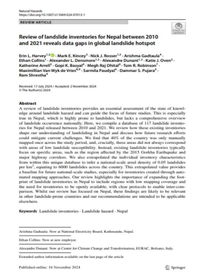
This review of landslide inventories provides an essential assessment of the state of knowledge around landslide hazard and can guide the focus of future studies.
Research briefs
Computer simulations are helping scientists and engineers improve predictions for liquefaction—a sometimes deadly earthquake effect where the soil loses its stiffness, thus toppling buildings and more.
The University of Texas at Austin
Cover
Documents and publications
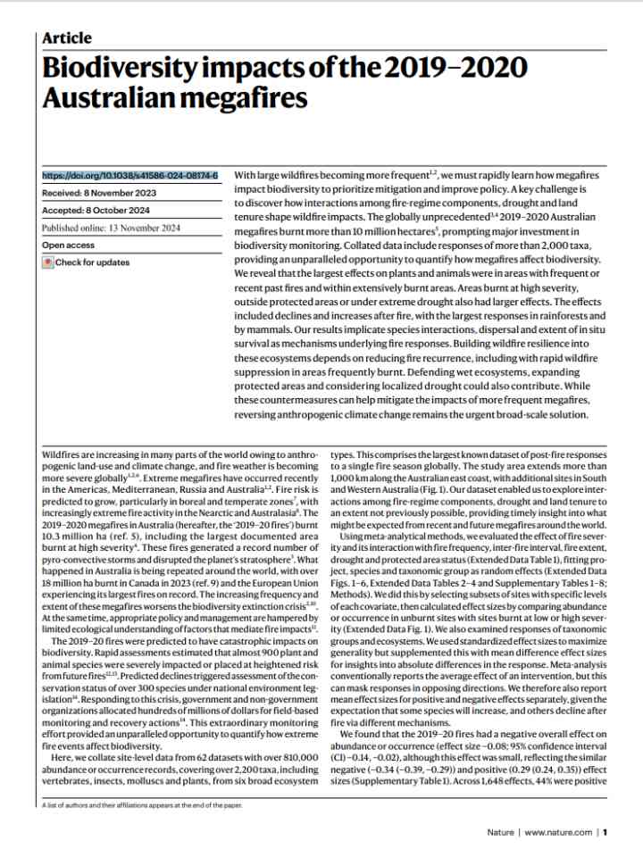
With frequent megafires threatening biodiversity, a study of Australia’s 2019-2020 fires highlights the need to limit fire frequency, expand protected areas, and consider drought effects. Ecosystem-specific management and long-term monitoring are key.
Statements and messages
The information will help people who live in coastal areas prepare for impacts caused by rising sea levels.
National Aeronautics and Space Administration
Cover
Documents and publications
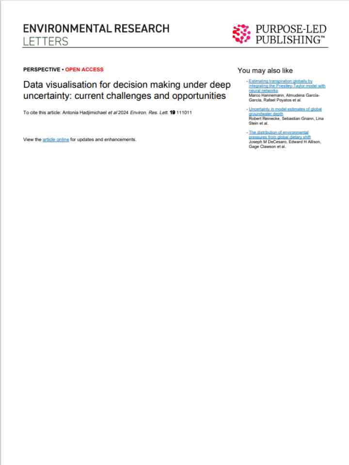
This study explores data visualization in decision-making under deep uncertainty (DMDU), addressing socio-environmental challenges and enhancing decision-making by evaluating visual forms and promoting interdisciplinary collaboration.
Mount Popocatepetl in Mexico erupting
Update
Data from NISAR (NASA-ISRO Synthetic Aperture Radar) will improve our understanding of such phenomena as earthquakes, volcanoes, and landslides, as well as damage to infrastructure.
National Aeronautics and Space Administration
Uploaded on

Is this page useful?

Yes No
Report an issue on this page

Thank you. If you have 2 minutes, we would benefit from additional feedback (link opens in a new window).