Country risk and governance profiles

Uncover the trends of disaster risk and learn more about country-level capacities to prevent disasters.

Understanding disaster risk is crucial for effectively preventing disasters. This page provides comprehensive and up-to-date risk profiles for countries around the world. The profiles offer in-depth information on risk for each country; they help identify and prioritize risk, guiding risk management.

Access detailed reports on each country's vulnerability, exposure, and resilience to various disasters, explore informative maps that visualize disaster risks, and understand key indicators and metrics used to assess disaster risk.

Documents and publications
This map illustrates Indonesia's exposure to seismic, volcanic and tropical storm hazard.
Documents and publications
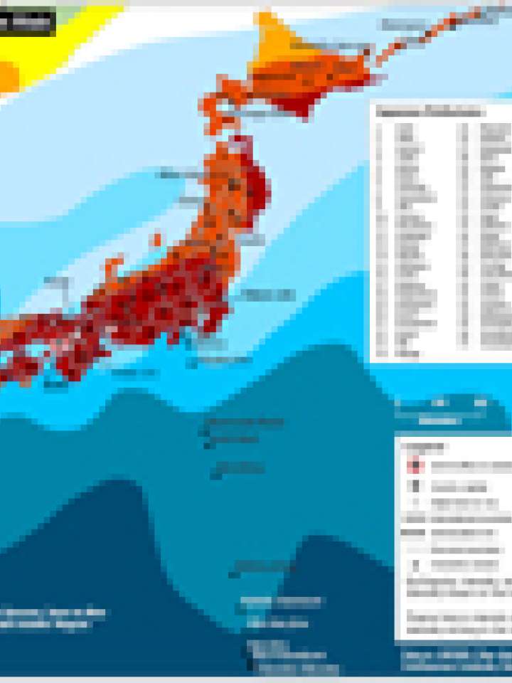
This map illustrates Japan's exposure to seismic, volcanic and typhoon hazard.
Documents and publications
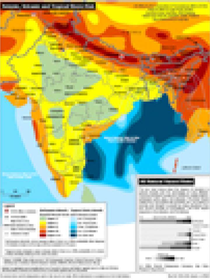
This map illustrates India's exposure to seismic, volcanic and tropical storm hazard.
Documents and publications
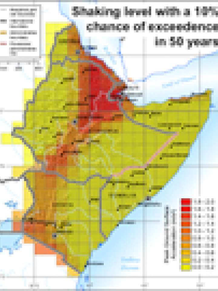
This map illustrates where there is a 20% chance that the Peak Ground Acceleration assigned value for every cell will be exceeded in the next 50 years.
Documents and publications
This map classifies coastal areas in Europe according to the probability of a tsunami occurrence.
Documents and publications
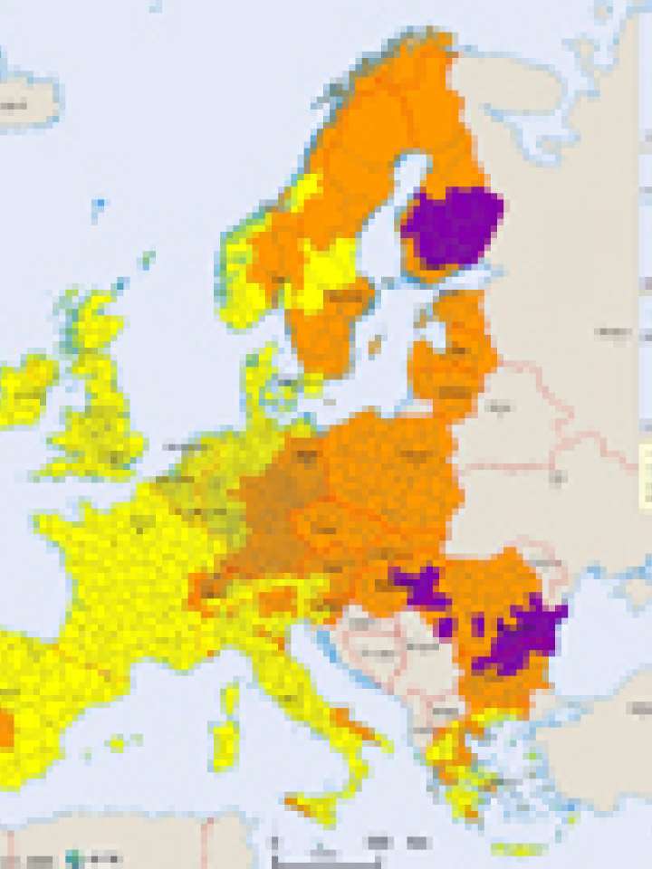
This map shows hot days and waves and cold days and waves hazards in Europe.
Asia Pacific
Documents and publications
This map shows earthquake intensity zones in accordance with the 1956 version of the Modified Mercalli Scale (MMS)
Documents and publications
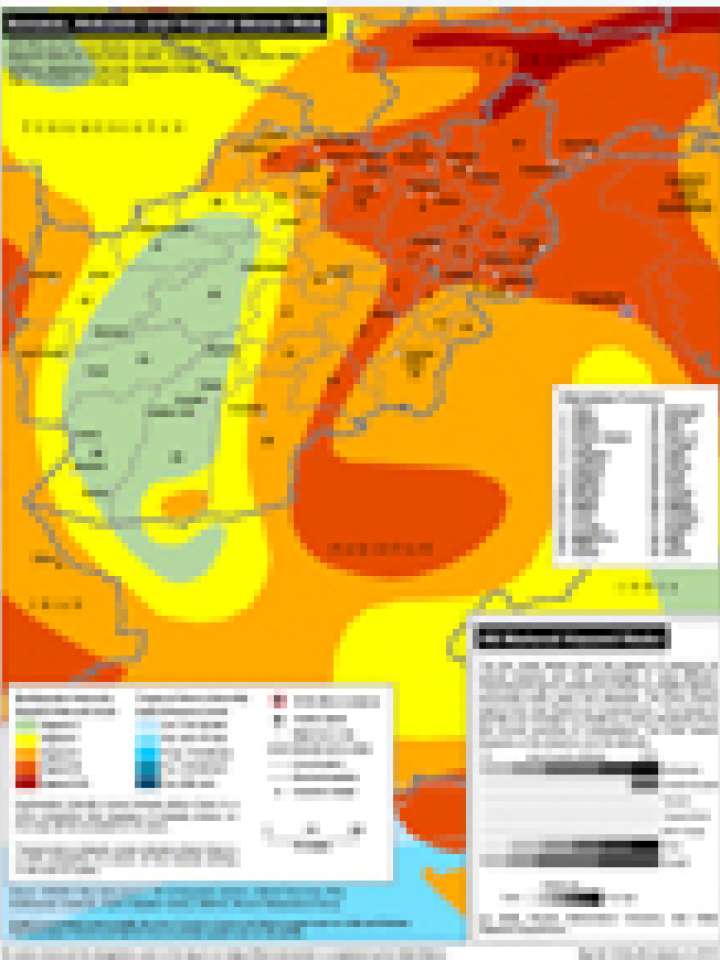
This map illustrates Afghanistan's exposure to seismic, volcanic and tropical storm hazard.

Uploaded on

Regional resources

Is this page useful?

Yes No
Report an issue on this page

Thank you. If you have 2 minutes, we would benefit from additional feedback (link opens in a new window).