Country risk and governance profiles

Uncover the trends of disaster risk and learn more about country-level capacities to prevent disasters.

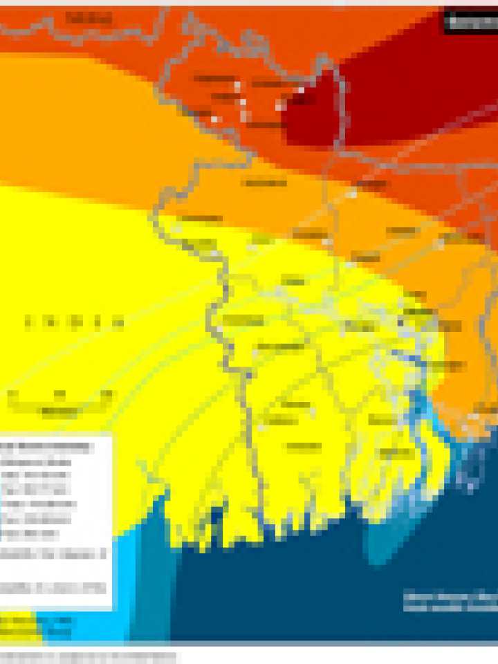
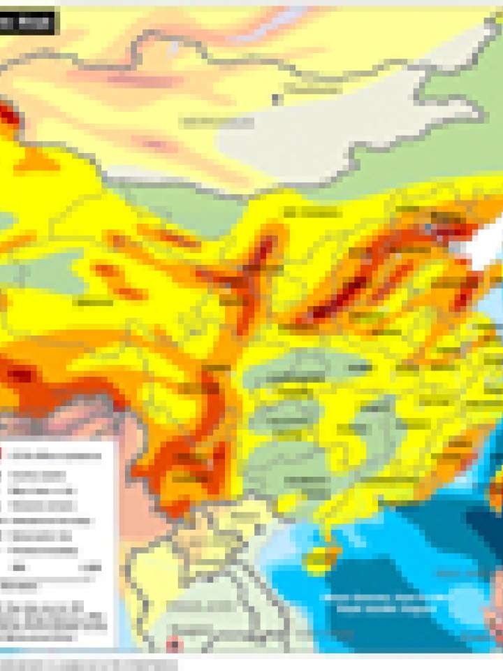
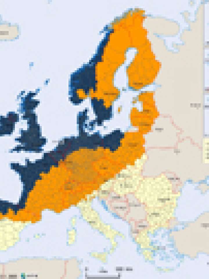
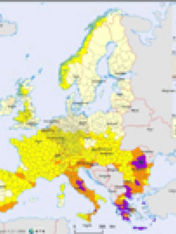
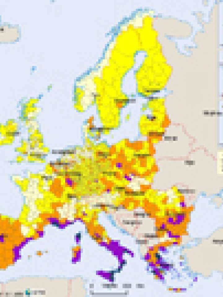
Understanding disaster risk is crucial for effectively preventing disasters. This page provides comprehensive and up-to-date risk profiles for countries around the world. The profiles offer in-depth information on risk for each country; they help identify and prioritize risk, guiding risk management.

Access detailed reports on each country's vulnerability, exposure, and resilience to various disasters, explore informative maps that visualize disaster risks, and understand key indicators and metrics used to assess disaster risk.

Documents and publications
This map illustrates Bangladesh' exposure to seismic, volcanic and tropical storm hazard.
Documents and publications
This map illustrates China's exposure to seismic, volcanic and tropical storm hazard.
Documents and publications
This map illustrates the Democratic People's Republic of Korea's exposure to seismic, volcanic and tropical storm hazard.
Documents and publications
The map shows that the avalanche hazard is widespread among all European mountain regions famous for winter sport activities, without displaying a general local frequency or probability.
Documents and publications
This map shows the approximate probability of having storm surges in any NUTS3 cluster. As storm surges are often closely linked to winter storms, the very high hazard area is mainly located in the areas where winter storms occur.
Documents and publications
The map shows that the areas in Europe that are more exposed towards the northern Atlantic experience the highest threat of winter storms.
Documents and publications
The map shows a classification of NUTS3 areas based on their average value of Peak Ground Acceleration (%), converting data from the Global Seismic Hazard Assessment Project (GSHAP) into 5 hazard classes.
Documents and publications
The map gives a good overview on the fire distribution on a specifically European level, using a combination of vegetation zones and observed forest fires (ATSR, 1997 to 2003).

Uploaded on

Regional resources

Is this page useful?

Yes No
Report an issue on this page

Thank you. If you have 2 minutes, we would benefit from additional feedback (link opens in a new window).